 05
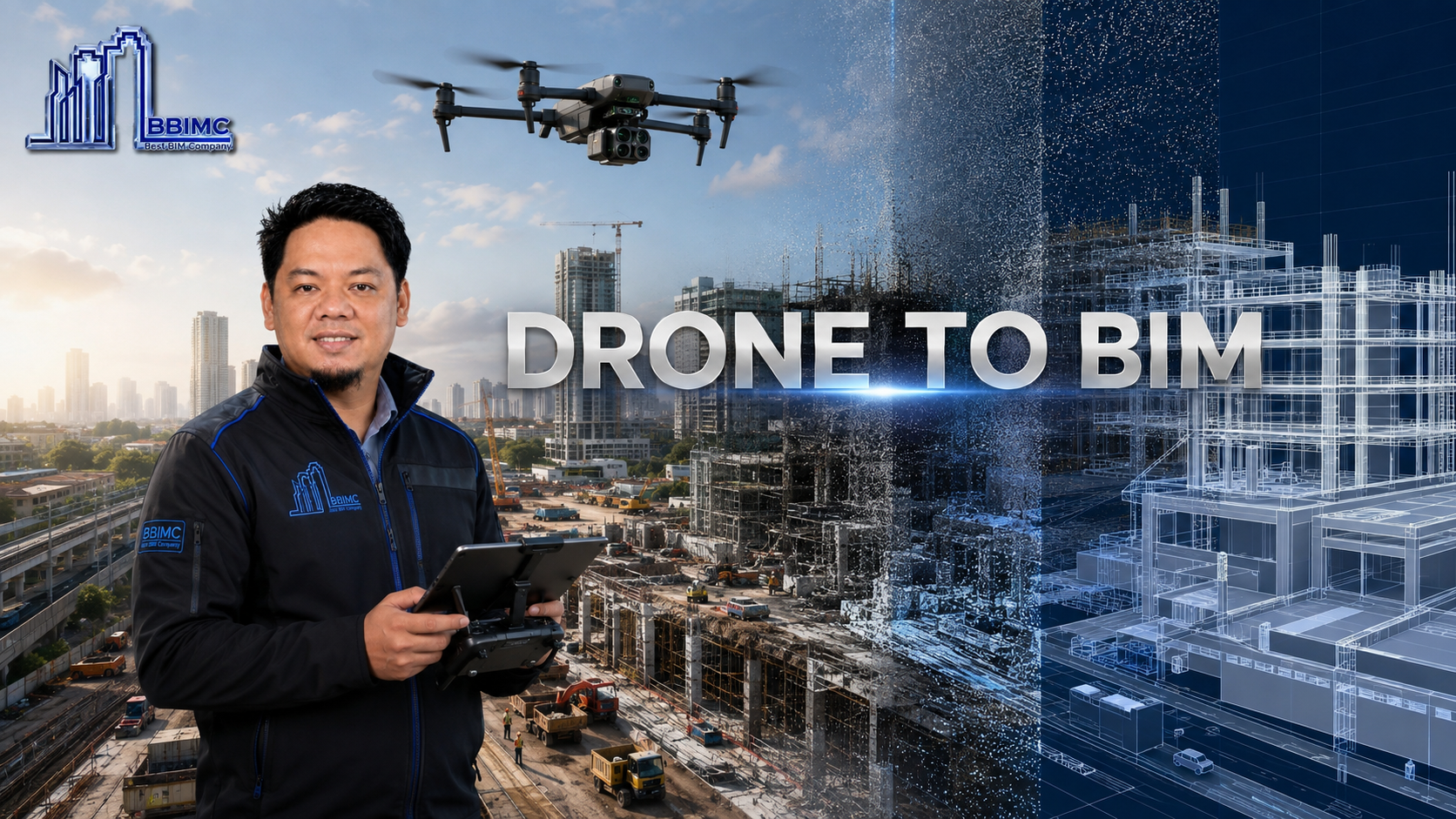
DRONE TO BIM
Aerial reality capture transformed into precise site intelligence, point clouds and coordinated BIM information.
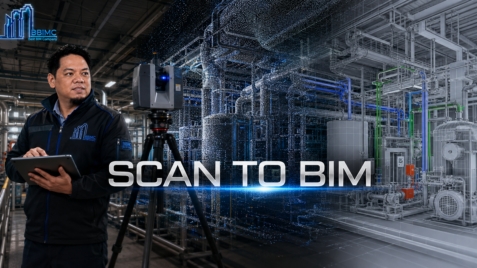
Laser-scanned existing conditions transformed into accurate, structured as-built digital models.
Scan to BIM converts terrestrial laser scanning and LiDAR point clouds into reliable models of existing buildings, infrastructure and industrial assets.
BBIMC registers and interprets captured data, establishes modeling requirements and reconstructs geometry with the appropriate level of detail and accuracy.
The resulting as-built information supports retrofit design, coordination, asset documentation and confident decisions around existing conditions.
WHAT BBIMC DELIVERS
HOW IT WORKS
WHY BBIMC
RELATED SERVICES
05Aerial reality capture transformed into precise site intelligence, point clouds and coordinated BIM information.
 10
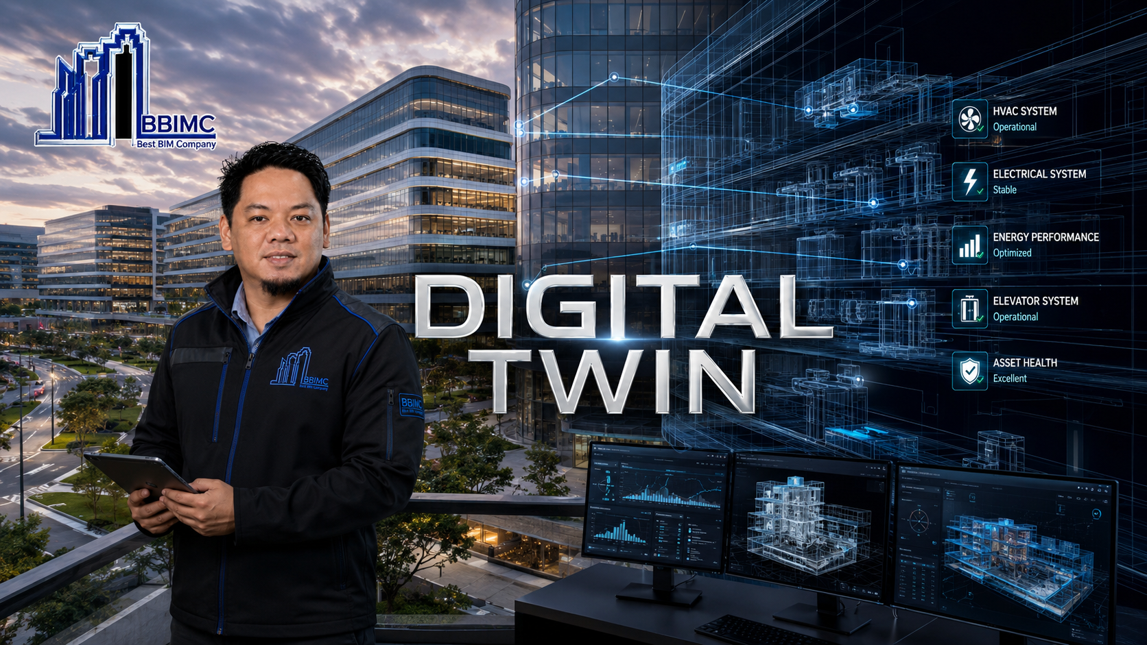
Connected operational models that bring physical assets, systems and lifecycle information into one intelligent environment.
 06
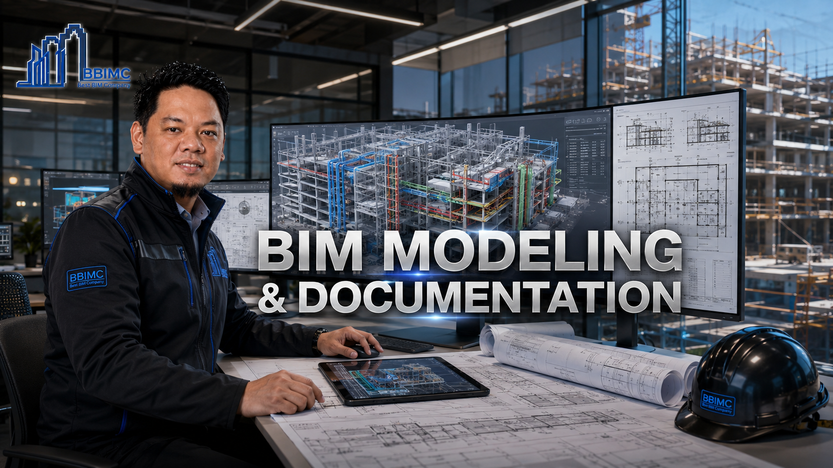
Detailed multidisciplinary model production and coordinated construction documentation for reliable delivery.