 09
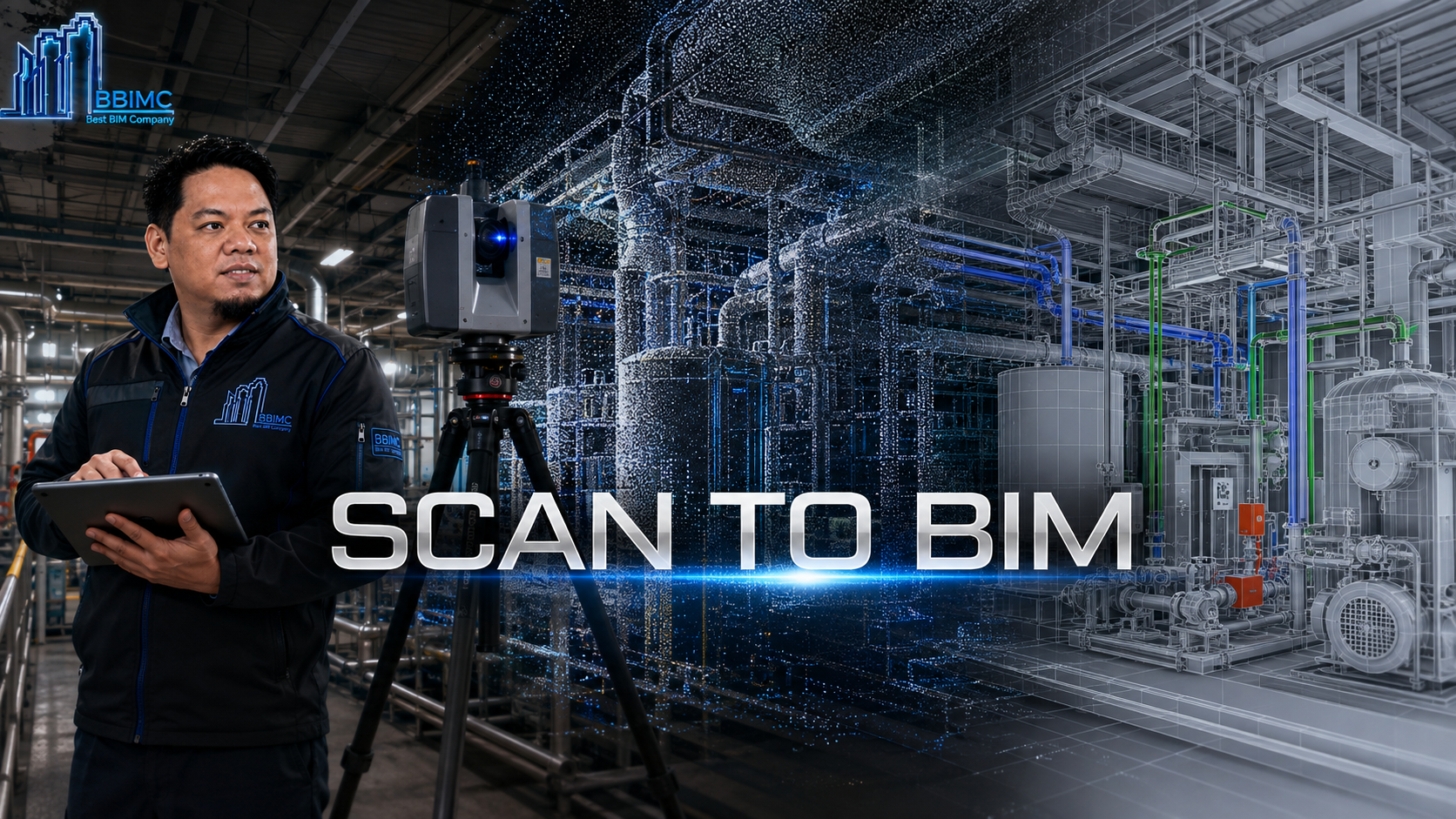
SCAN TO BIM
Laser-scanned existing conditions transformed into accurate, structured as-built digital models.
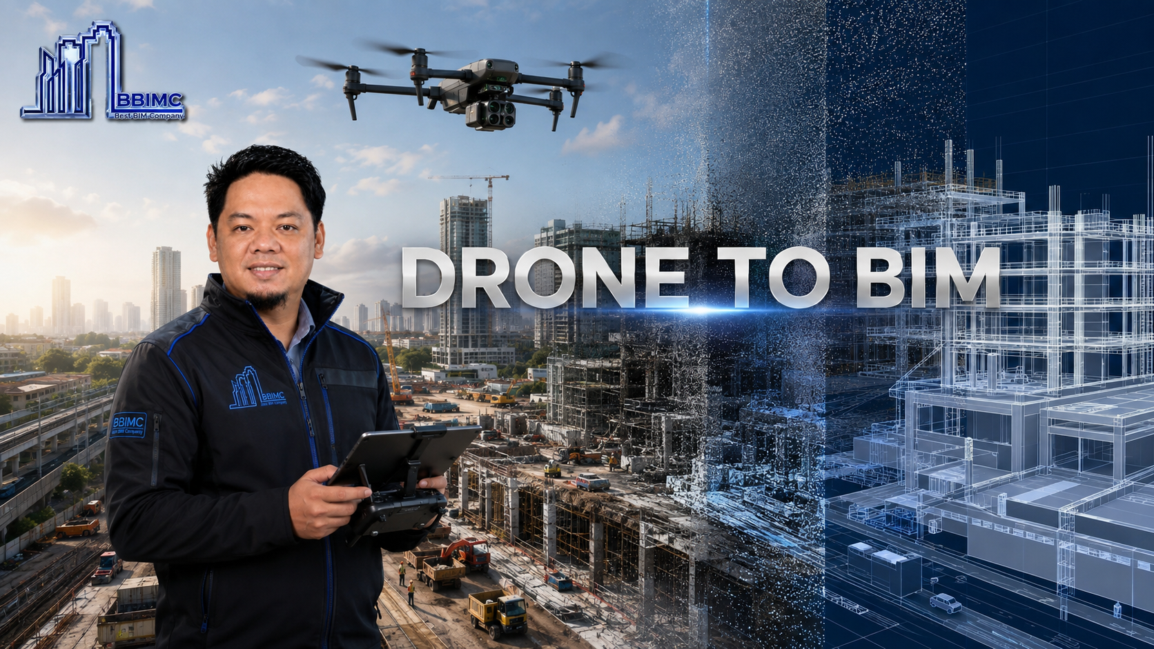
Aerial reality capture transformed into precise site intelligence, point clouds and coordinated BIM information.
Drone to BIM combines aerial surveying and photogrammetry with disciplined digital modeling to document large or complex sites efficiently.
BBIMC processes captured imagery into point clouds, reality meshes and verified existing-condition information before translating the data into usable BIM outputs.
The workflow gives design and delivery teams a current, measurable basis for planning, coordination and progress assessment.
WHAT BBIMC DELIVERS
HOW IT WORKS
WHY BBIMC
RELATED SERVICES
09Laser-scanned existing conditions transformed into accurate, structured as-built digital models.
 01
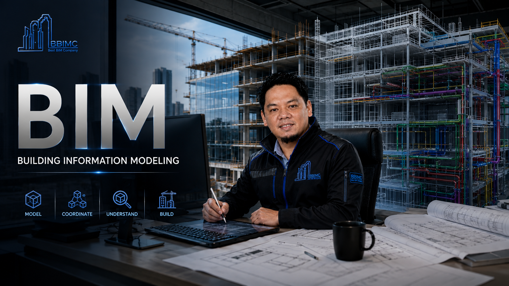
Intelligent, information-rich models that coordinate design and drive construction-ready project delivery.
 10
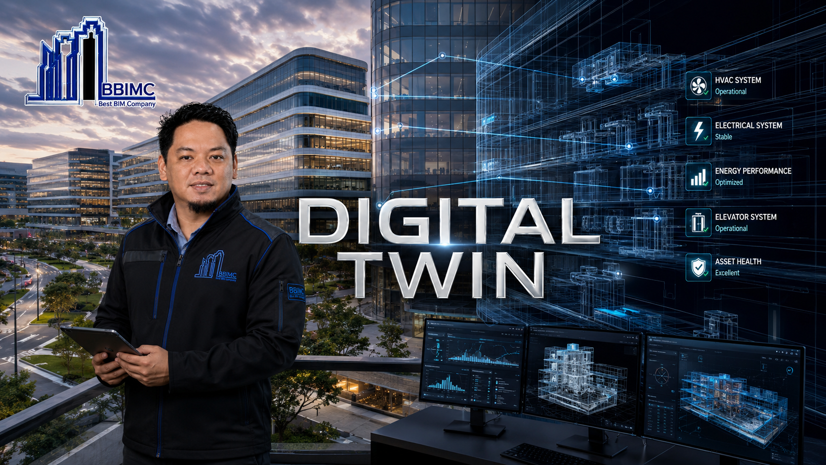
Connected operational models that bring physical assets, systems and lifecycle information into one intelligent environment.